Here is a look at out tenative route: ( remember, he, he, we no longer have a job so time frame means little now. Should we want to detour to visit some cool thing the navigator has located on the internet, we can )Click the map for a larger view.

Our travel plan is to take three or four days to go from Arkansas to Cumbres Pass, stopping at the least excuse along the way. Our software has had a KML patch applied to it so that it will also display nearby geocaches and oftentimes that is the excuse that we need to get out and stretch our legs.
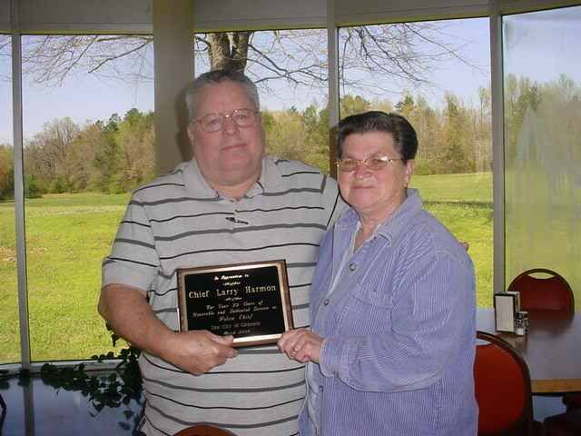
Fellow Bloggers Chuck & Gehri, www.phunnyfarm.blogspot.com , traveled some of this route after leaving us at Lake Greeson. We will refer to their blog as we proceed down the route, so we can enjoy some of the things they have pointed out. One thing in particular comes to mind,is a free campsite with water and electricity in Flordada Texas. I'll bet more and more small towns do this to increase the dollars spent locally by passing RV'ers.
To easily follow this blog, getting email alerts and a clickable link, scroll fown to the FOLLOW button and click on it, we would appreciate it ! Or, maybe click on the comments link below to leave a comment such as, " Hey you guys ! Post the coordinates of that free campground !, We'll be passing through there this Summer ! "